
Mosaic, Movella improve mobile mapping and geospatial analysis
February 28, 2024
Mosaic and Movella have collaborated to combine the Mosaic 51 and Mosaic X camera systems with Movella’s Xsens Vision Navigator (XVN).
Read More
Mosaic and Movella have collaborated to combine the Mosaic 51 and Mosaic X camera systems with Movella’s Xsens Vision Navigator (XVN).
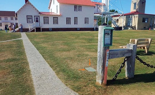
GNSS users who appreciate that physical monuments can provide verification of GNSS observations can do four things to preserve those monuments and make them more accessible.
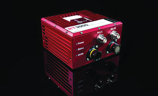
A roundup of recent products in the GNSS and inertial positioning industry from the February 2024 issue of […]
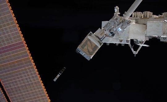
This is an introduction to the February 2024 Innovation article, “GNSS Timing Measurements from a Low-Earth Orbiting Satellite.” […]
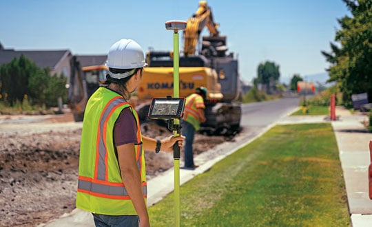
Surveyors for architecture, engineering, and construction projects require GNSS receivers that have high accuracy and are rugged enough […]

When Chris Kahn arrives by helicopter on the island of Barbuda, in the Caribbean, he sees reef-lined beaches, […]

“Seen & Heard” is a monthly feature of GPS World magazine, traveling the world to capture interesting and unusual news stories involving the GNSS/PNT industry.

Due to China’s rapid growth, the G85 highway, which opened in 1995 and connects Chongqing to neighboring provinces, […]


Follow Us