Innovation: Attitude determination and RTK positioning using low-cost receivers
June 1, 2021
Getting It Better
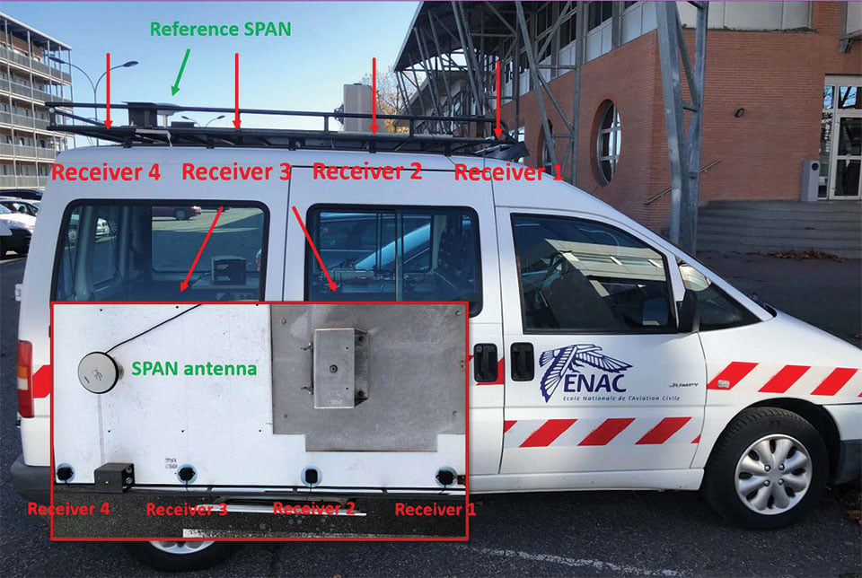
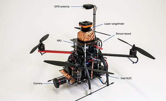
While RTK positioning and attitude determination is readily done with high-end equipment, it is still a challenge to get good results for kinematic platforms with low-cost receivers. In this month’s column, we learn how a team of researchers in France is trying to do just that.
Read More


Follow Us