TAG: real-time data

Example of PID from Mark Priority List (Image: NGS website)

New feature in OPUS Projects: Using RTN vectors to support 2022 Transformation tool

March 1, 2023

Image: Nexar

Nexar releases CityStream Live, a real-time mapping platform for mobility

November 28, 2022

Photo:

HxGN Connect adds AI capabilities for real-time alerts

October 24, 2022

This article is tagged with , , , and posted in Latest News, Mobile
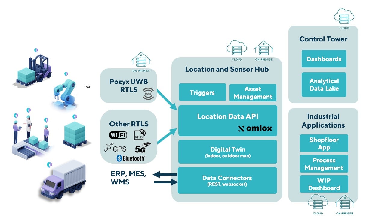
Image: Pozyx

Pozyx Platform provides seamless indoor/outdoor tracking

June 4, 2022

Illustration of a simulated test environment incorporating GNSS, multipath and jamming in a Spirent zoned chamber. (Image: Spirent Federal)

Realism in chamber-based CRPA testing

May 16, 2022

Photo: ResponDrone

First responders see real-time data a top benefit of using drones

December 9, 2019

Esri releases Operations Dashboard for ArcGIS to manage events in real time

February 7, 2018

Hexagon acquires 5D visualization company Luciad

October 9, 2017

This article is tagged with , , , , and posted in GIS News, Imagery, Technology