TAG: infrastructure

Photo: Trimble

Trimble acquires B2W Software to expand civil construction portfolio

September 15, 2022

AEC firms use aerial mapping to share infrastructure funding

March 10, 2022

NetInsight logo

Net Insight partners with Meinberg on time synchronization solutions

March 8, 2022

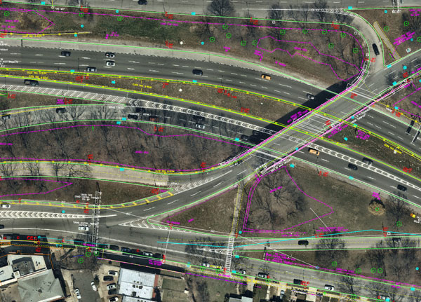
Nearmap aerial imagery is used as a basis for survey linework. Photo: Nearmap

AEC firms use aerial mapping to share in infrastructure funding

February 25, 2022

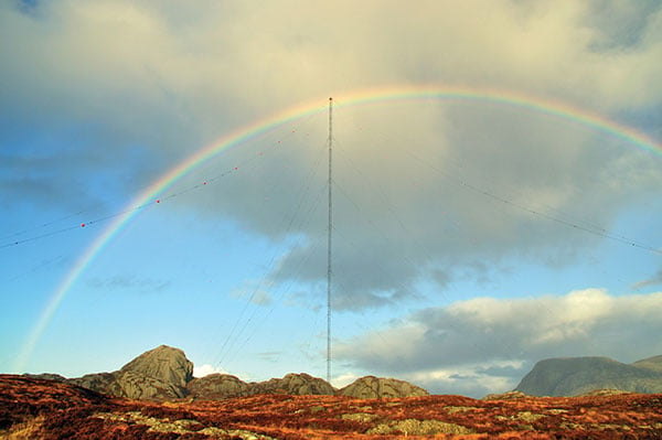
the former Loran-C transmission antenna at Værlandet, Norway. (Photo: UrsaNav)

10 questions on eLoran

January 21, 2022

Photo: AnnaFrajtova/iStock / Getty Images Plus/Getty Images

The surveyor and augmented reality – ready for the future

September 1, 2021

HEAD Aerospace satellite imagery now on UP42 marketplace

July 16, 2021

Photo: tomazl/E+/Getty Images

ESA, public safety organization agree to support navigation services

April 14, 2021