Abom launches military/industrial goggles with GNSS/INS
June 3, 2019
Abom, a company that designs sophisticated commercial goggles, has launched new augmented reality (AR) goggles. Designed for safety, industrial […]
Read More
Abom, a company that designs sophisticated commercial goggles, has launched new augmented reality (AR) goggles. Designed for safety, industrial […]
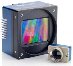
Teledyne Optech, Teledyne DALSA and Teledyne Scientific & Imaging, all part of the Teledyne Imaging group, will share […]

Raytheon Company and the U.S. Navy completed the final developmental test to integrate the Joint Standoff Weapon C […]
DigitalGlobe has released high-resolution satellite images of the wildfires burning in Northern California. These wildfires have killed at […]

L3 Technologies’ WESCAM division has received an order from Airbus Helicopters to provide 37 MX-15 electro-optical and infrared […]
Phase One Industrial has introduced its Phase One 4-Band Solution, which incorporates an innovative batch-processing tool that automates and […]
Esri has enhanced its ArcGIS technology to simplify the use of free global imagery from the Sentinel-2 satellite […]

We look at the development of a generalized vision-aided integrity monitor for precision relative navigation applications. A vision-aided integrity monitor could be extremely valuable in augmenting existing precision relative navigation systems, such as GPS, for many different safety-critical aerospace applications.


Follow Us