
ESA and NASA launch open-source biomass platform
November 2, 2021
The European Space Agency (ESA) and National Aeronautics and Space Administration (NASA) have publicly released a globally harmonized […]
Read More
The European Space Agency (ESA) and National Aeronautics and Space Administration (NASA) have publicly released a globally harmonized […]
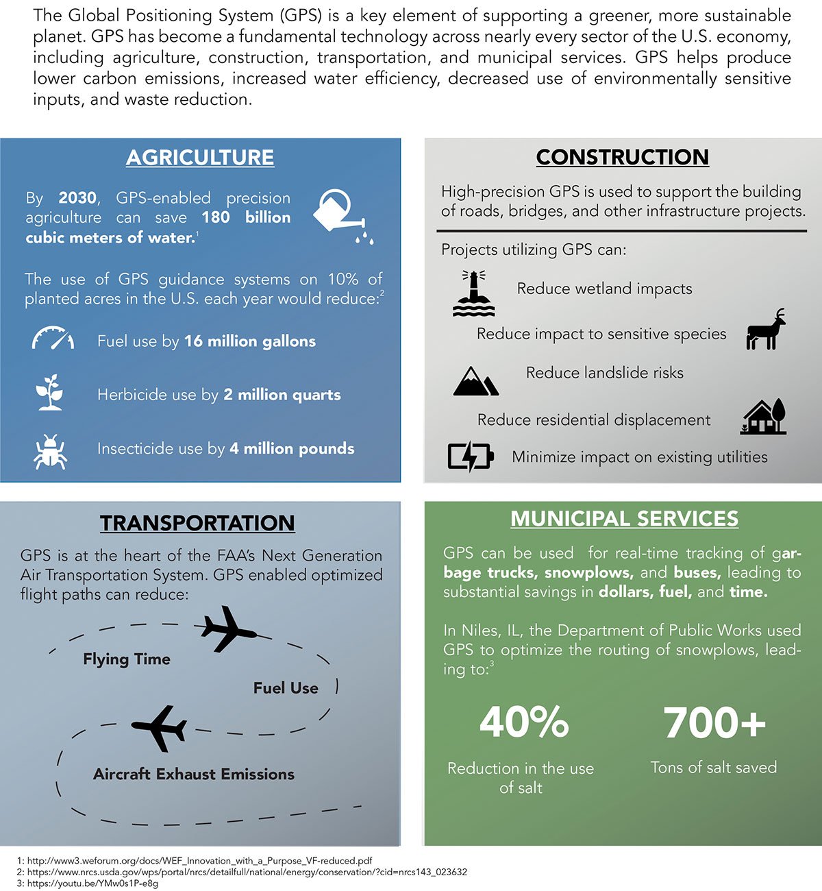
Can GPS support a greener, more sustainable planet? The answer is an emphatic “yes,” and it is already […]
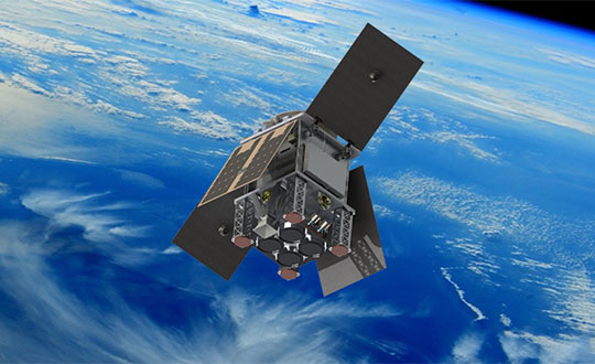
The small satellite will measure climate variables using GNSS Reflectometry The European Space Agency (ESA) has selected HydroGNSS […]

The Juneau Icefield Research Program (JIRP) calculates that thinning of Alaska’s Taku Glacier has increased from an average […]
Bluesky International will use aircraft-mounted lidar sensors and laser scanners to create a highly detailed 3D map of […]

Just a couple of pieces of drone news this month — who would imagine flying a fixed-wing drone […]

The successful demo consolidates concept designs for a proposed land-sensing ESA Scout mission, HydroGNSS Surrey Satellite Technology Ltd. […]

NASA is partnering with the New Zealand Ministry of Business, Innovation and Employment, New Zealand Space Agency, Air […]


Follow Us