
DJI launches 3D model editing software
January 24, 2024
DJI has launched DJI Modify, its first intelligent 3D model editing software. It can be integrated with DJI’s enterprise UAVs and 3D modeling and mapping software, DJI Terra.
Read More
DJI has launched DJI Modify, its first intelligent 3D model editing software. It can be integrated with DJI’s enterprise UAVs and 3D modeling and mapping software, DJI Terra.

Techtree Innovation has launched AROUND, a high-precision, high-resolution 3D geospatial map platform designed to improve the quality and accuracy of existing 3D maps.

Mapbox has released new platform updates to enhance user’s 3D mapping experience by adding powerful dynamic lighting capabilities and landmark 3D buildings.
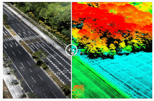
Cepton Inc. is working with LidarSwiss Solutions GmbH to deploy its lidar technology in a drone-based mapping and […]

News from OxTS The possible applications for 3D point clouds are almost endless. When you think of lidar, […]

“Seen & Heard” is a monthly feature of GPS World magazine, traveling the world to capture interesting and […]

Hi-Target has launched a real-time-kinematic (RTK) GNSS receiver that has an eye for visual positioning. The pocket-sized vRTK […]

How Inertial Systems and GNSS Availability Will Help
Self-driving cars in urban environments can be problematic. The required multi-sensor automated systems will include GNSS, but buildings block and reflect GNSS signals, reducing system availability and accuracy. Researchers from the Illinois Institute of Technology report on how inertial navigation systems coupled with wheel-speed sensors and vehicle dynamic constraints can help.


Follow Us