First South Korea government drone project completed with SimActive

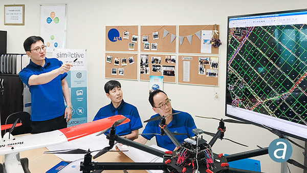
Photo: SimActive
SimActive Inc., a developer of photogrammetry software, has enabled the first government drone mapping project in South Korea.
Asia Aero Survey (AAS), a SimActive regional partner, used Correlator3D for the public survey delivered to the Korean National Geographic Information Institute (NGII) and the Korean Association of Spatial Information, Surveying & Mapping.
While such projects were previously conducted using manned aircraft, a drone was preferred because of the difficulty in accessing the area of interest through traditional aerial and ground surveying methods.
The NGII officially published guidelines for public surveying and mapping with drones in March 2018, with the AAS project being the first delivered and accepted as adhering to the new guidelines.
AAS is also deploying UAV solutions with hyperspectral and lidar for other projects in conjunction with SimActive software.


Subscribe to GPS World
If you enjoyed this article, subscribe to GPS World to receive more articles just like it.


Follow Us