
Building with precision: Surveying for architecture, engineering & construction
February 28, 2022
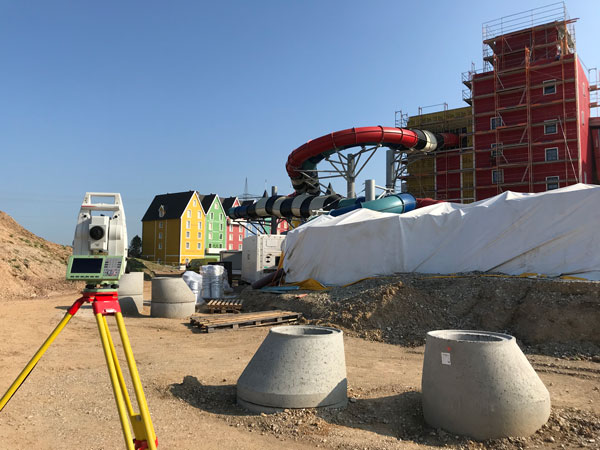
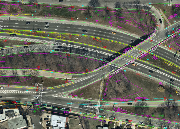
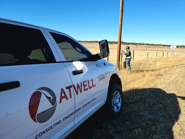
In recent years, the architecture, engineering and construction (AEC) industry has benefited greatly from growing GNSS accuracy, smaller laser scanners, UAVs, and more efficient management, collaboration and visualization software.
Read More


Follow Us